
Aerial photogrammetry
Aerial photogrammetry
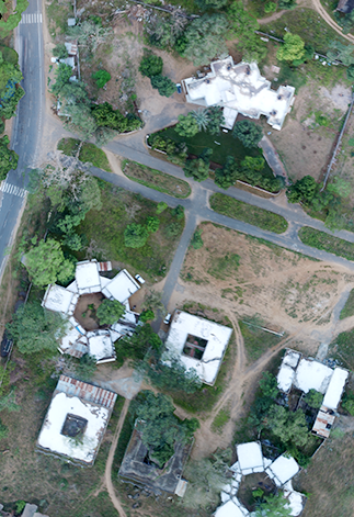
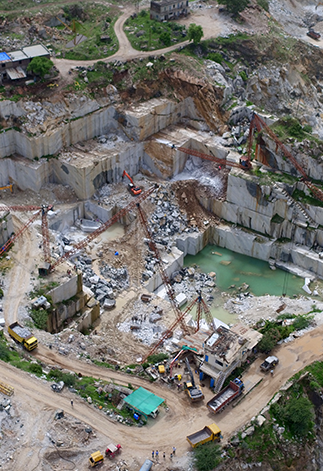
Aerial photogrammetry is a specialized application of aerial photography used to measure and analyze the geometric properties of objects and terrain from images. By combining drone-captured photographs taken from multiple angles, we generate accurate 2D maps and 3D models of the same area.
Our photogrammetry process involves expert analysis of aerial and terrestrial imagery to extract precise information about physical features and the surrounding environment, supporting surveying, planning, and decision-making.
High Resolution Photogrammetry Outputs
Color point cloud
The color point cloud uses RGB data from a raster for colorization. Each point of the point cloud receives the RGB value of the raster pixel that has the same location.
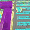
Classified point cloud
The point cloud is classified in 5 predefined groups: ground, road surface, high vegetation, building, human made object. The results of the classification are used for the DTM generation.
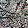
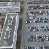
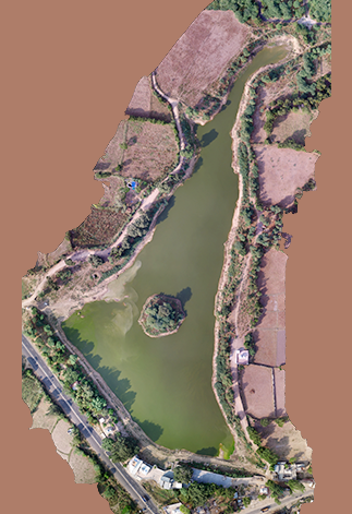
Orthomosaic
2D image map geometrically corrected such that the scale is uniform. Color balanced to be visually pleasing.
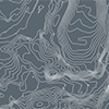
Contour lines
These are lines connecting points of equal elevation. They allow to better understand the shape of the land surface (the topography) on a map.
.png)
Digital surface model (DSM)
2.5 D model of the mapped area that contains (X,Y, Z) information, but no color information.
.png)
Digital terrain model (DTM)
2.5 D model of the mapped area after filtering out objects such as buildings,that contains (X,Y, Z) information but no color information.
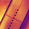
Reflectance Maps
A reflectance map compiles the reflectance values of each pixel and geometry into a single function.

3D Textured Mesh
A representation of the shape of the model that consists of vertices, edges,faces and the texture from the images that is projected on it.
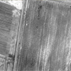
Thermal Maps
Thermal maps are 2D maps displaying the thermal information from infrared imaging cameras for each pixel.
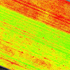
Index Maps
Each index is associated to an index map.
For each pixel on this map,the value of the
pixel is
derived from the associated
reflectance maps.
Applications of Photogrammetry
Clients