LiDAR Survey
LiDAR Survey
High-Precision 3D Survey & Digital Mapping Solutions
UAV-based LiDAR mapping delivers fast, safe, and highly accurate 3D data capture across complex and inaccessible terrain. By combining advanced LiDAR sensors, flexible drone platforms, and intuitive data processing software, we provide end-to-end LiDAR survey solutions that enable surveyors and project teams to work faster, safer, and more cost-effectively—without compromising accuracy.Our LiDAR systems are designed to adapt to diverse surveying requirements, making them ideal for large-scale infrastructure, environmental monitoring, and disaster response projects.
Why Choose UAV LiDAR Surveys?
Traditional ground and manned aerial surveys are often slow, costly, and limited by terrain. Drone-based LiDAR surveying overcomes these challenges by offering:
Rapid data acquisition over large areas.
High-density point clouds with exceptional accuracy.
Safe remote sensing in hazardous or inaccessible locations.
Non-intrusive data capture with minimal site disruption.
Real-time point cloud visualization for in-field route optimization.
Application Scenarios
Mining & Resources
Open-pit mine topography mapping
Stockpile volume calculations
High-wall and slope monitoring
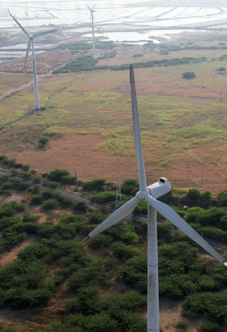
Infrastructure & Utilities
Power line, railway track, and pipeline inspection
Corridor mapping for roads, rail, and utilities
Right-of-way (ROW) surveys
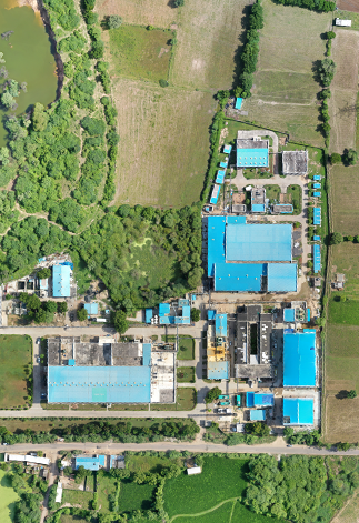
Construction & Urban Development
Construction site monitoring and progress tracking
Earthwork and cut-fill analysis
As-built documentation
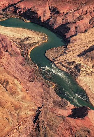
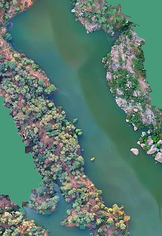
Terrain & Environmental Mapping
Terrain and canyon mapping
Flood zone mapping and modelling
Landslide survey and risk mapping
Agriculture & Forestry
Forest canopy and biomass mapping
Terrain modelling beneath dense vegetation
Land-use and watershed analysis
Disaster & Emergency Response
Earthquake damage assessment
Disaster impact and recovery mapping
Rapid situational awareness surveys
Applications of LiDAR


Clients